Drone Roof Inspection in Chico, CA
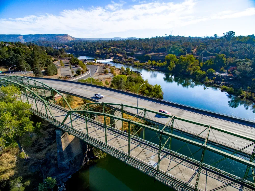
A roof that spans several elevations can be hard to understand from a ladder or one hatch. Drone imaging gives the owner an overview of visible surfaces, equipment clusters, drainage paths, and areas that need a closer visit. It can help us plan a safe route and compare broad conditions across a roof, but a camera cannot confirm a weld, soft insulation, or hidden deck damage. We pair aerial views with the specific hands-on checks the roof requires, then explain which observations are visible and which still need testing.
Map the roof before the walk
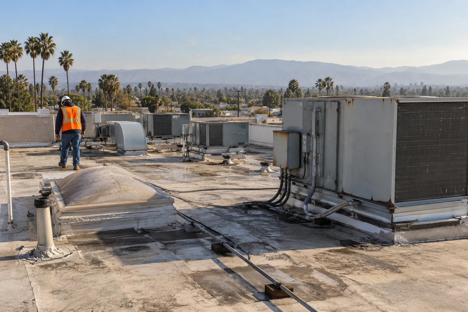
We begin by identifying roof areas, access points, equipment, and any operating restrictions. The planned flight path needs to respect airspace, site rules, weather, and safe separation from people. Once images are collected, we use them to locate ponding patterns, displaced materials, exposed penetrations, or surface changes that deserve a closer look. An image is a way to direct attention, not a final condition rating.
Air Park Boulevard and Cohasset Road form part of Chico’s northwestern employment geography, which includes broader business and industrial uses. That context may make large roofs or equipment access relevant, but it does not establish the configuration of any individual building. We coordinate each flight at the property and confirm access with the site contact. For a detailed field check, we pair the overview with a hands-on inspection and place findings on a roof plan.
Separate visible clues from hidden conditions
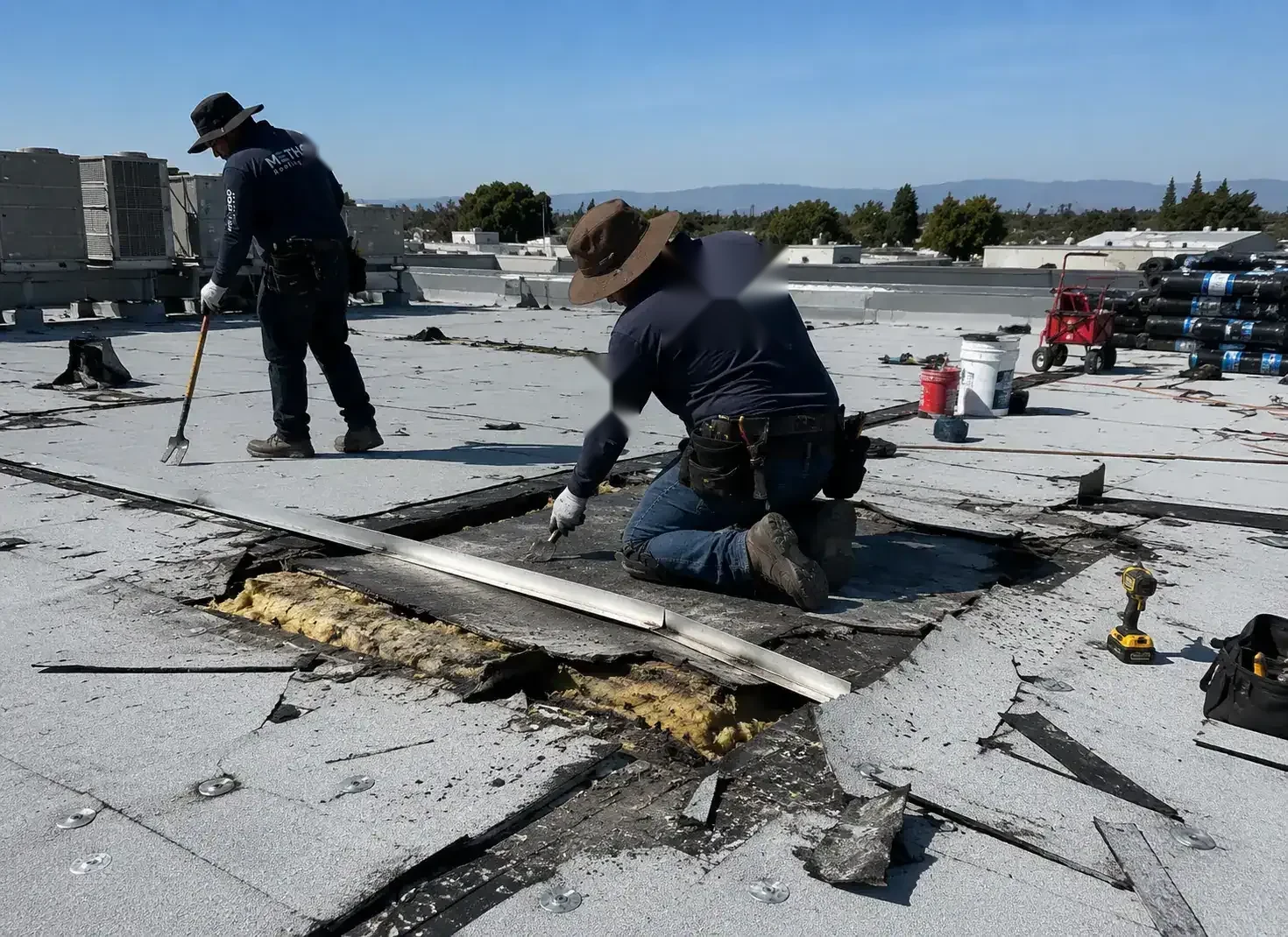
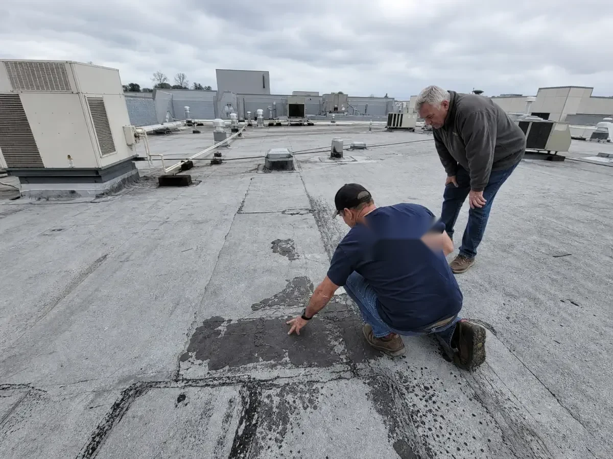
High-resolution views can show open laps, displaced edge metal, debris collecting near a drain, or an object resting on the membrane. Lighting and angle change what a camera can reveal. A dark area may be moisture, shadow, a patch, or a different surface material. We compare images from more than one angle when necessary and mark only conditions we can actually see. A roof walk determines whether a seam has separated and whether the material around it is sound.
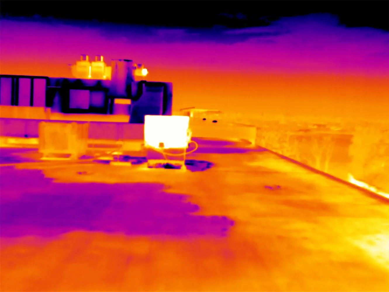
Images can also help connect an interior leak report with likely roof features. A drain, curb, expansion joint, or parapet near the projected route becomes a place for hands-on review. If a temperature survey indicates a possible concealed moisture area, an infrared moisture check can guide test locations. We do not use aerial color alone to declare insulation wet. A condition record can link a marked image to the field finding and any next test.
Use image coverage with purpose
Before a flight, we agree on the question the images should answer. A property team may need a roof-wide inventory, a record of visible storm effects, or a planning view before equipment work. We choose capture angles that show relevant edges and transitions, then organize the results by roof area. Repeated flights can help compare visible changes over time when the views and conditions are similar. That comparison still needs an inspection where the change affects a repair decision.
The East 20th Street District pairs retail clusters with larger-format stores and broad parking areas. For aerial capture, those open areas may offer a different launch approach than a Downtown Chico mixed-use block, where nearby activity can narrow the safe operating space. We confirm the roof shape, launch position, and surrounding activity at the property, then limit the image set to the agreed inspection question.
Image quality depends on contrast, sun angle, surface texture, and how much of the roof is visible from the flight path. We avoid interpreting glare as a coating change or shadow as a wet area. If a parapet hides the field, we note the gap and plan another angle or a roof walk. A consistent naming scheme ties each view to a roof zone, which helps the facilities manager locate the same curb or drain during later maintenance. The images can also identify rooftop equipment that needs clearance before repair work, although the technician confirms the actual service route at the building.
Turn images into a field plan
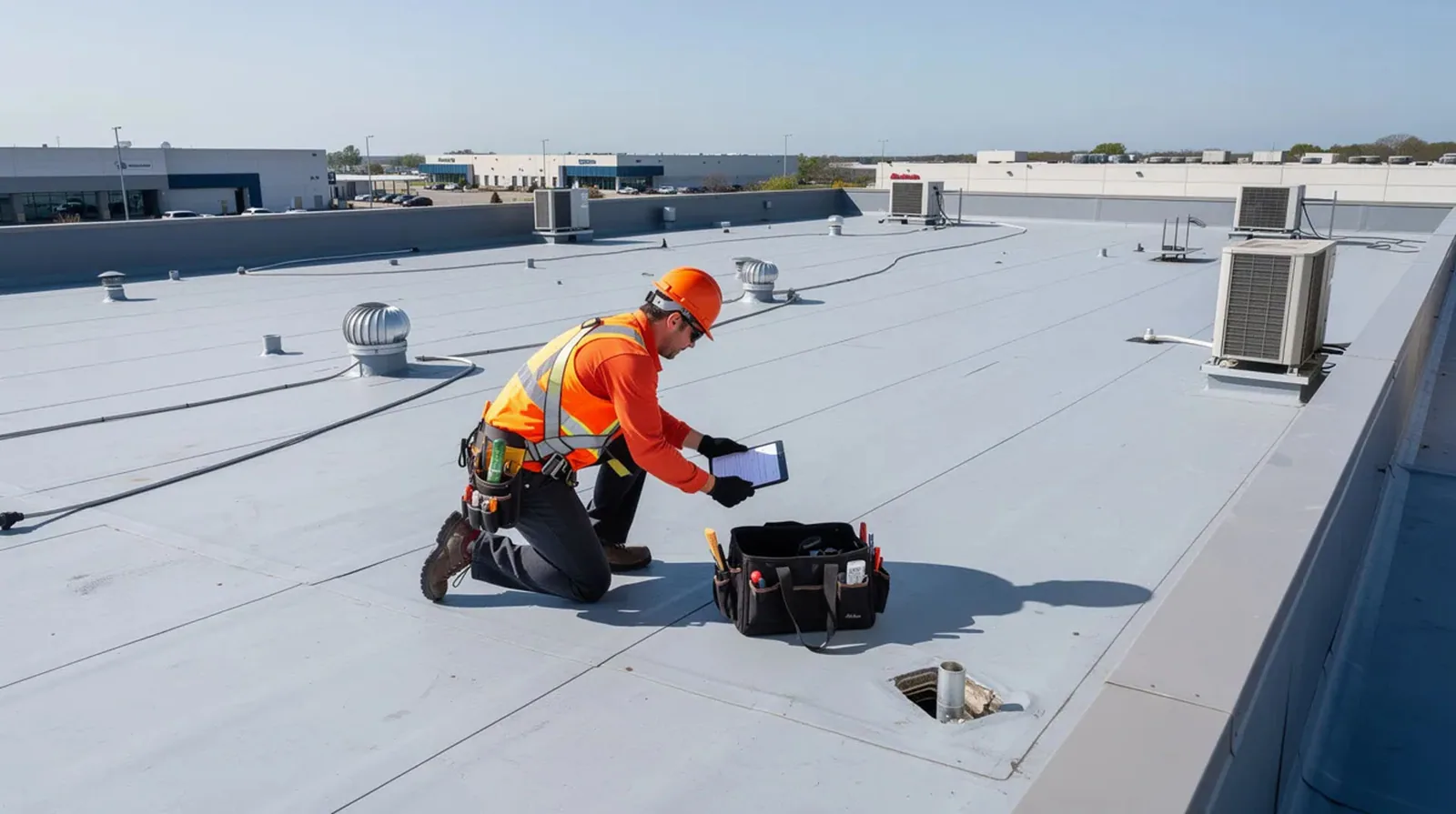
The useful result is an image set that points to a decision. We label visible conditions, note roof zones that were obscured, and prepare a walk route for the items that require close review. If a repair is already known, the imagery can help locate it and document surrounding details. If the roof has no clear symptom, a maintenance visit can use the marked plan to examine drains, seams, and penetrations in a consistent order.
For distribution or warehouse properties, the roof area and equipment layout may require a careful access plan. When an image reveals an apparent opening, a repair inspection identifies the material and boundary before we propose a patch. If the question is drainage, our outlet review verifies that water can reach the drain or scupper. Each next step follows the image and the field evidence together.
Keep the report honest and usable
Drone imaging has limits. It cannot inspect below the roof covering, test attachment, confirm the condition of a weld, or replace safe access to a detail. Wind, rain, airspace restrictions, line-of-sight, and occupied areas can limit the capture. We tell the owner when a section could not be photographed clearly and whether another method is needed. If the site cannot be flown safely or legally, we use an appropriate ground or roof-level approach.
A service request is easier to plan when you share the building use, access details, prior leak locations, and the reason for collecting images. We can then determine whether an aerial overview adds value or whether a direct walk will answer the question. In the Chico Airpark Employment Area, we coordinate around site access and current operations; no facility is treated as a service-area target. The final report separates photographed clues from confirmed roof conditions and gives the owner a practical route to resolve the remaining questions.
When the roof has multiple membranes or several elevations, the overview should not flatten them into one surface. We mark transitions and make separate notes for sections that have different access or material. The owner can then see where the crew needs a close review and why one broad photograph cannot support a single roof-wide conclusion. This keeps the next visit focused and helps avoid unnecessary foot traffic over areas that are not part of the question.
Commercial Roofing Questions
Can drone images tell whether insulation is wet?
Aerial images can show surface patterns, but they do not confirm moisture below the membrane. We use a separate survey or test opening when concealed conditions matter, and tie that result to the roof area shown in the image set.
Will the drone replace a roof walk?
No. The camera can map visible surfaces and help direct the walk, but seams, flashing, fasteners, and substrate condition require hands-on inspection where access is safe.
Can a drone document roof damage after a storm?
It can record visible changes and help identify areas for follow-up. The images should be paired with close review and the building's own records before the owner treats a visible mark as storm-related damage.
What can stop a planned flight?
Weather, airspace, site rules, line-of-sight, or nearby people can limit or prevent a safe capture. We confirm those conditions before scheduling and use another inspection method when needed.
How do you use the images after the flight?
We label roof areas and visible clues, then direct a walk or test to the places that could change the repair decision. The owner receives the images with a distinction between what is visible and what has been confirmed in person.
Plan a roof overview with a clear inspection question
Tell us the building use, roof access conditions, leak history, and what you need the images to establish. We will decide whether aerial coverage helps and pair it with the right field checks.